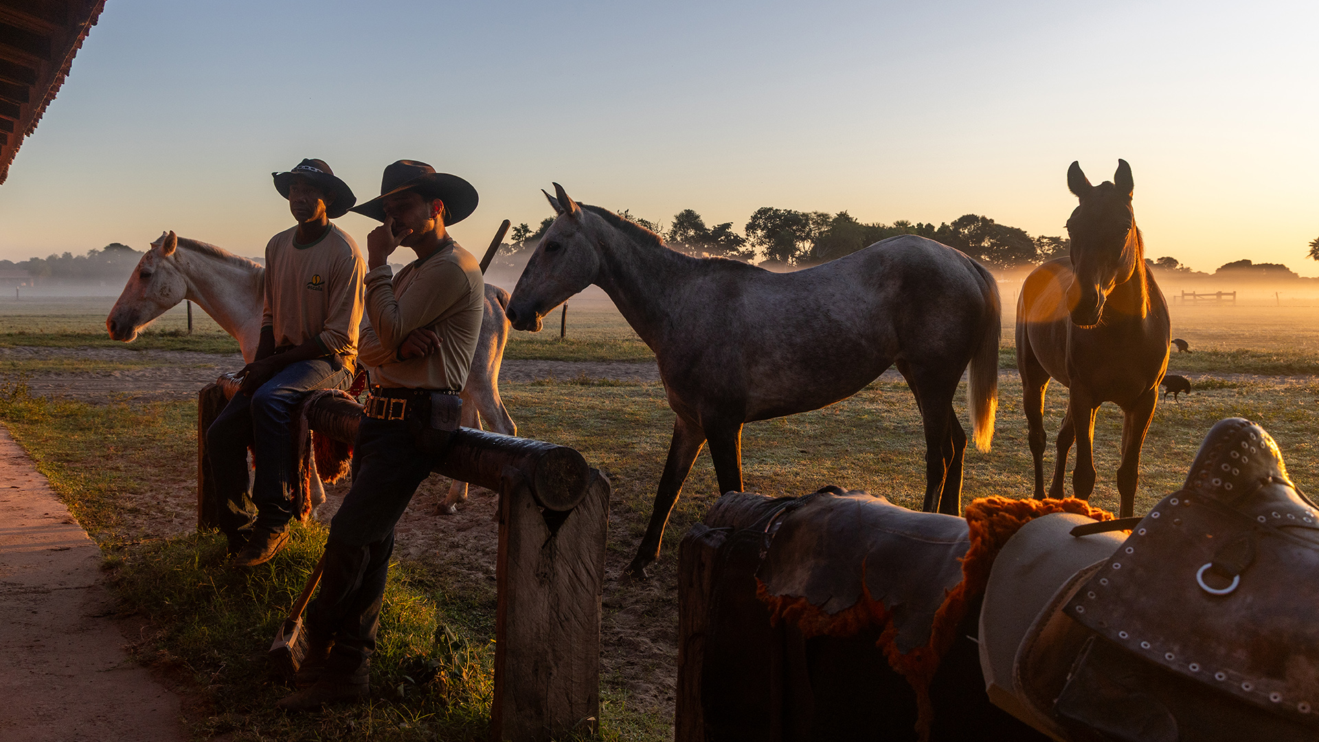
Conserving the Pantanal and Gran Chaco of South America: Pew’s Work in Bolivia

The Pantanal and Gran Chaco represent two ecologically distinct yet interconnected landscapes—the world’s largest tropical wetland and one of the most extensive dry forests—which, together, help conserve biodiversity, store carbon, regulate water flows, and provide critical habitat for a wide array of species.
The Pew Charitable Trusts is working alongside national and regional governments, partner organizations, local communities, and Indigenous peoples in Bolivia and Brazil to solidify and expand protection of the region’s extraordinary biodiversity, as well as to promote sustainable land uses that support local residents’ livelihoods. And Pew is also beginning to expand this collaborative work into northern Argentina.
About The Pew Charitable Trusts
Founded in 1948, Pew is a nonpartisan philanthropic organization that uses data to make a difference, addressing the challenges of a changing world by illuminating issues, creating common ground, and advancing ambitious strategies that lead to tangible progress.
Pew works closely with governments, civic organizations, Indigenous communities, and research institutions that share our commitment to conservation, public service, and evidence-based decision-making. These partnerships combine essential expertise, local knowledge, and effective leadership to advance solutions that work within local cultural, policy, and environmental contexts.
Pew’s work in Bolivia
Pew’s efforts in Bolivia focus on the Pantanal and Gran Chaco regions, including key watersheds, Indigenous territories, and protected areas. In collaboration with our partners, this work centers on four interconnected priorities.
- Strengthening protected areas: Improving the effective management of national, regional, and local protected areas.
- Creating new protected territories: Securing new conservation designations that expand protections in Bolivia.
- Advancing Indigenous governance: Supporting Indigenous peoples in strengthening their own territorial governance and management systems.
- Developing sustainable finance: Supporting the design and implementation of long-term financing mechanisms to ensure that conservation efforts will be ongoing and lasting.
Pew’s partners in Bolivia
- Fundación CERAI: Strengthens community livelihoods and promotes water management and conservation of Indigenous territories while encouraging residents’ participation and respecting local culture.
- FUNDESNAP (Fundación para el Desarrollo del Sistema Nacional de Áreas Protegidas): Strengthens Bolivia’s protected areas system through technical and financial support.
- Fundación Natura Bolivia: Benefits families by advancing water source conservation, supporting local and regional protected areas, and strengthening climate resilience through nature-based solutions involving local stakeholders.
- NATIVA: Advances transnational integrated climate solutions by connecting conservation, governance, and sustainable development while strengthening local capacity and partnerships for lasting impact.
- ORE—Organización de Apoyo Legal y Social: Supports the rights of Indigenous peoples in Bolivia’s lowlands by strengthening self-governance and conserving shared natural resources.
- WWF Bolivia: Works on biodiversity conservation and sustainable resource management across priority landscapes—ecologically important areas designated as a conservation priority—to ensure climate resilience, community well-being, and lasting protections.


People