Innovative Mapping Tool Reveals Hidden Wetlands and Enhances Conservation Efforts
AI-powered model aids states and countries in planning and restoration priorities

Over the past 200 years, the United States has lost more than half of its wetlands, largely because of commercial development and agricultural practices that drain or fill wetlands. Even worse, recent data shows that the rate of wetlands loss in the U.S. is accelerating.
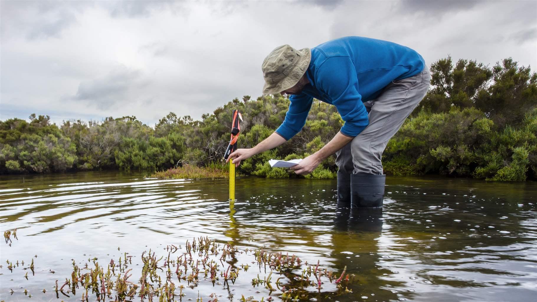
A major challenge in addressing wetlands loss is that many types of wetlands—especially forested and seasonal wetlands, and those that were drained, filled, or otherwise heavily altered—are underrepresented in or missing from national datasets. The most widely used resource, the U.S. Fish and Wildlife Service’s National Wetlands Inventory, provides information about wetlands and habitats, but the agency lacks the money to fully modernize its mapping techniques. Because the inventory was built using aerial photography, it often misses subtle features in the terrain or wetlands hidden beneath tree cover, meaning their crucial functions are unrecognized in planning and policy efforts.
These gaps make it difficult to account for wetlands’ substantial ecological and economic contributions, including protecting communities from flooding and wildfires; providing habitat for commercially and recreationally important species; controlling erosion; and filtering pollutants and excess nutrients from the water.
Novel tool improves mapping with data and AI
A promising development in overcoming these challenges is the Wetland Intrinsic Potential (WIP) tool. During a recent webinar hosted by The Pew Charitable Trusts’ Blue Carbon Network, three Washington state experts discussed the artificial intelligence-powered tool, which they helped to develop. The tool combines satellite imagery and data on hydrology, elevation, and vegetation with machine learning—a branch of AI that detects patterns and makes predictions—to model where wetlands are likely to exist.

The WIP tool is a marked advancement from the USFWS wetlands inventory because it “detects fine-scale topographic cues invisible to the eye and standard imagery,” said Meghan Halabisky, an earth observation scientist at the University of Washington. The tool goes beyond surface wetness and analyzes hydrology, topography, and vegetation to pinpoint probable wetlands, even those that are hidden or degraded. The result is a powerful, flexible model that complements traditional mapping and provides new insights that can inform decision-making.
The WIP tool is “something that we just haven’t had until now—to be able to combine all these different pieces of information,” said Amy Yahnke, a wetlands scientist with the Washington Department of Ecology.

One of the tool’s key innovations is its ability to produce high-resolution maps that identify carbon-rich soils. When combined with on-site soil data, this allows researchers to more accurately model where carbon is stored. “This spatially aligned foundation allows us to truly map the value of wetlands on the landscape—everything from flood protection to carbon storage,” Halabisky said.
Improved wetlands mapping can empower states and agencies to better integrate wetlands into climate plans and resilience initiatives. In fact, the tool has already helped numerous state and local governments to identify previously unknown wetlands, refine boundaries, and inform planning and restoration priorities.
WIP tool used in Washington state—and beyond
Since 2021, the tool has helped to improve local and regional wetland inventories and management in areas including Washington state and a NASA-led project in Hawaii.
In Tukwila, Washington, a city of about 21,000 in suburban Seattle, the tool identified new wetlands, updated other wetlands’ boundaries, and helped officials understand restoration potential within the city’s Green River watershed, said Connor Racette, a geographic information system expert for the Washington Department of Ecology. Racette also noted the utility of the tool for evaluating forestry practices on wetlands.

Racette also previously worked with NASA DEVELOP—a research internship program that addresses environmental and public policy issues—to build WIP models for the island of Hawaii, the largest of the state of Hawaii’s seven islands, to inform risk management and support storm surge management by identifying wetlands of high value that should be restored or conserved. Wetlands historically also are important to Native Hawaiian communities, Racette said, “and this data also helped inform cultural resources research and planning efforts.”
The tool has also been used in other states and Canada, as well as Africa through a partnership with Digital Earth Africa (a free online platform that offers open access to satellite imagery), to develop wetland inventories for countries on the continent.

The WIP tool can be continually improved over time, Halabisky said, if quality data is used to train the model. “Good training data is really more important than any kind of fancy AI model,” she noted. The tool’s iterative design allows users to incorporate new, more accurate data points from which the model’s outputs can be refined.
Continued investments in instruments like the WIP tool can empower policymakers to tap into the power of wetlands to strengthen communities and bolster biodiversity in a changing world.
As Halabisky said, “Better mapping means better decision-making.”
Jazmin Dagostino is a senior associate with The Pew Charitable Trusts’ U.S. conservation project.
People


